



Statewide Railroad Asset Inventory and Construction Management Platform
September 28, 2026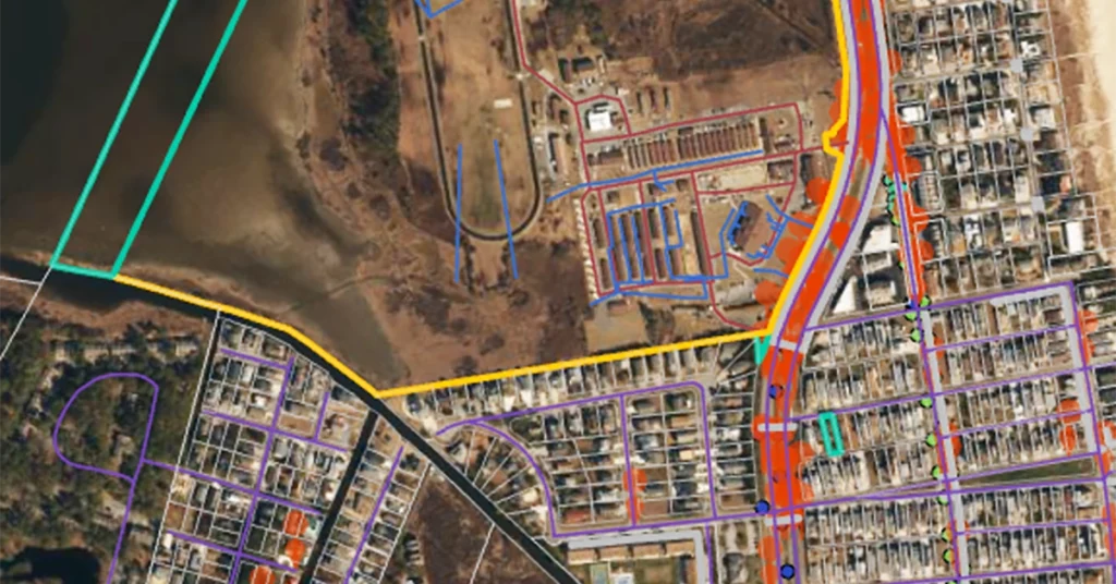
Kleinfelder supported the Delaware Department of Transportation (DelDOT) as part of its participation in the National Road Network (NRN) Program pilot phase. DelDOT’s initiatives focused on advancing the Highway Performance Monitoring System (HPMS) through improved data consistency, jurisdictional coordination, and the development of a seamless, geographic information systems (GIS) database.
Challenges of an Integrated Roadway Network
The NRN Program, and its kickoff pilot phase, were established to strengthen HPMS by creating an integrated roadway network that aligns data across state and regional boundaries. Funded by the Federal Highway Administration (FHWA), DelDOT undertook the pilot phase to modernize its roadway inventory and comply with federal standards. Kleinfelder was engaged to provide GIS data development, conversion, and quality assurance services to help DelDOT meet NRN Program requirements while leveraging existing systems, practices, and resources. Challenges in aligning roadway data with NRN Program and HPMS requirements included disparate data structures, varying data formats from external agencies, and the need for cross‑jurisdictional alignment with neighboring states. The project also required a scalable methodology that maintained data accuracy and supported long‑term transportation system data management within a linear referenced system (LRS).
Database Coordination and Validation
The project began with a data design assessment, evaluating HPMS requirements and DelDOT’s existing data structures to recommend necessary adjustments for NRN Program compliance. The team coordinated with federal, state, and local agencies, including representatives from Maryland, Pennsylvania, and New Jersey, to obtain and align roadway centerline data across jurisdictions.
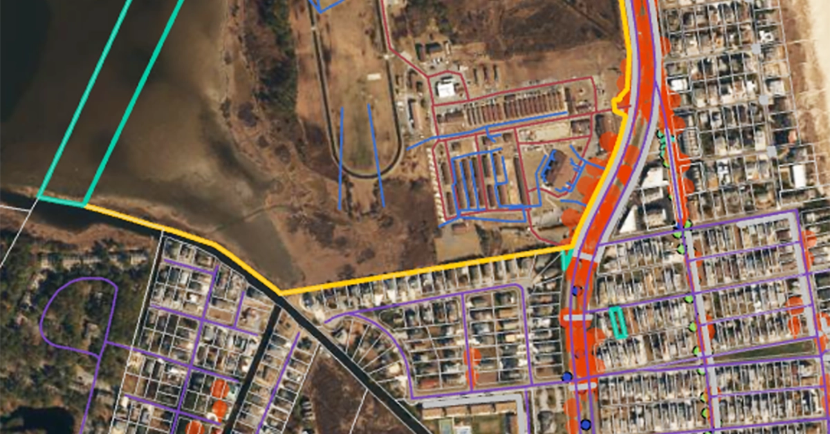
External datasets were compiled, translated from varying formats, and migrated into a consistent database structure to support analyst workflows, aligning federal requirements with state practices. This methodology guided a statewide review of DelDOT’s roadway inventory, including the capture of new roadway centerlines, roadside assets, and key attributes such as lane counts and widths, surface types, and road classifications. Quality assurance and quality control processes leveraged Esri topology rules and sample‑based attribution reviews to help validate geometric integrity and data accuracy.
Project Results
Outcomes included the addition of approximately 180 new centerline miles and more than 15,000 roadside assets. The resulting GIS‑based roadway network database improved data completeness, supported NRN Program and HPMS objectives, and positioned DelDOT for improved federal reporting, planning, and cross‑jurisdictional coordination.
Project Details
Location:
Statewide, DE
Owner:
Delaware Department of Transportation