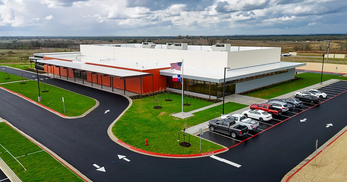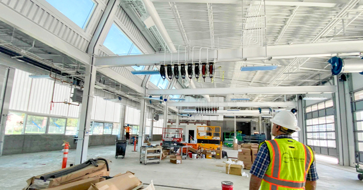


Construction Management and Inspection Services for Vine Transit Bus Maintenance Facility
October 3, 2025
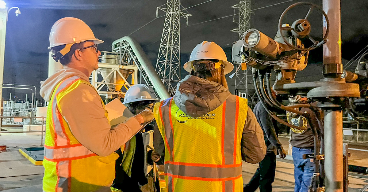
North and South Metro Sewer Interceptors Rehabilitation
January 7, 2026

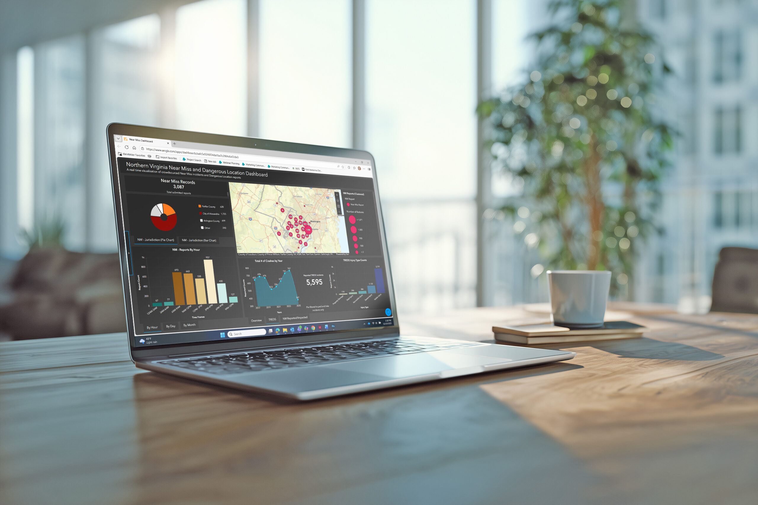
In the Northern Virginia (NoVA) region surrounding Washington, D.C., a dense population of more than 2.6 million people contributes to Virginia’s average of more than 100 pedestrian and cyclist deaths each year. Near-miss and dangerous location reporting applications allow users to highlight safety issues, which can drive change in infrastructure to improve pedestrian and cyclist protections.
The Human Connection
Traffic studies and planning can fail to account for the ways that humans interpret and interact with signs, lanes, and other safety measures. Through accessible reporting, the public can provide data on potential issues that help to inform local governments, departments of transportation, and advocacy organizations. The Metropolitan Washington Council of Governments (COG), in conjunction with Northern Virginia Families for Safe Streets (NoVA FSS) and the Alexandria Police Department, sought to improve its web-based near-miss survey and reporting tools to provide a more user-friendly experience and improve data quality for richer analyses.
Updated Survey and Dashboard
Kleinfelder’s Information and Spatial Solutions (IS2) team worked with the Metropolitan Washington COG and area stakeholder organizations to improve the overall function and usability of the web-based application to advance reporting, reliability, and pedestrian and cyclist safety for the region’s residents and visitors. The web-based application was designed and deployed using the ESRI ArcGIS Online and Survey123 Platform and consisted of a public-facing user survey and reporting dashboard.
The publicly accessible dashboard displays anonymized user reports that can be sorted by geographic location, time of day, and various incident descriptions. Embedded within the dashboard are data from the Virginia Department of Motor Vehicles Traffic Records Electronic Data System (TREDS), overlaying reported crashes to support trends analysis.
Kleinfelder’s IS2 team streamlined the survey questions and user experience, resulting in increased user adoption. The dashboard was enhanced with several new charts to improve trends-based analysis and provide richer insights.
Project Results
To date, more than 3,000 near-miss and dangerous location reports have been submitted using the survey, helping to inform current and future safety infrastructure and policies in Northern Virginia. Tools like near-miss surveys provide representation for pedestrians and cyclists while aiming to improve safety for all roadway users.
Click here to interact with the near-miss dashboard.
Project Details
Location:
Arlington County, Fairfax County, and City of Alexandria, VA
Owner:
Metropolitan Washington Council of Governments