


Celebrating National Surveyors Week: Showcasing Kleinfelder’s Geospatial Innovation
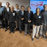
March 15-21, 2026 is National Surveyors Week, and it’s the perfect opportunity to recognize the incredible work Kleinfelder’s Geospatial and Surveying teams do. These 100+ technical experts support projects across due diligence, acquisition, engineering, design, and construction.
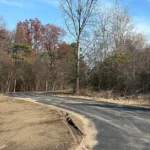
With survey crews and specialists across the U.S. and Canada, our geospatial program brings together advanced technologies, licensed experts, and multidisciplinary capabilities to produce accurate, efficient, and safe project data. Our teams deliver everything from boundary and ALTA/NSPS surveys to LiDAR scanning, drone mapping, GIS integration, subsurface utility mapping, and detailed construction staking. These capabilities support hundreds of communities and project types, helping our engineers, designers, and clients make informed decisions from day one.
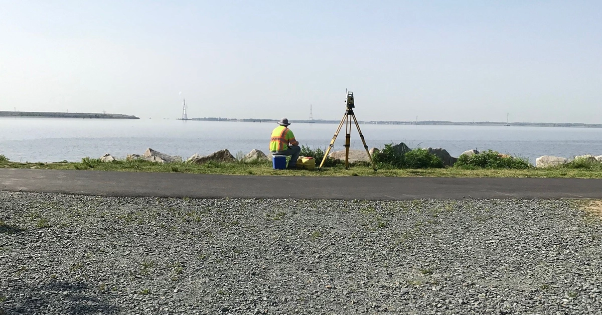
Our crews have also been leveraging robotic total stations and automated field collection workflows to increase accuracy, speed, and safety on job sites. These robotic systems reduce the need for multiple field staff, provide precise millimeter-level measurements, and create safer working conditions by allowing surveyors to operate away from active roadways, equipment, or constrained spaces.
The robotic survey units can capture high-precision data on complex terrain, document right-of-way and roadway conditions, and integrate results directly into digital mapping platforms. Paired with our LiDAR, photogrammetry, and drone-based imaging, these tools allow our surveyors to deliver richer datasets faster, all while maintaining our commitment to safety and quality.
A National Program With Local Expertise
Kleinfelder’s geospatial program is supported by:
- Dozens of licensed professional land surveyors
- More than 110+ offices across three countries
- Field crews specializing in topographic, hydrographic, 3D laser scanning, utility mapping, platting, and construction surveying
- Full alignment with FAA compliance for airborne operations
- An integrated GIS and mapping environment enabling real time project updates through web-based tools
Whether conducting site due diligence, providing roadway condition mapping, supporting land development, or delivering construction staking for infrastructure improvements, our survey team ensures that projects start and finish on solid ground.
As we recognize National Surveyors Week, we extend our appreciation to every member of our geospatial group. Your expertise, field leadership, and innovative approach continue to push our capabilities forward and bring tremendous value to our clients and project teams.