Kleinfelder’s Kyle Wire Explores Urban Heat Map Modeling: Blending Data Results in 50% Reduction in Errors
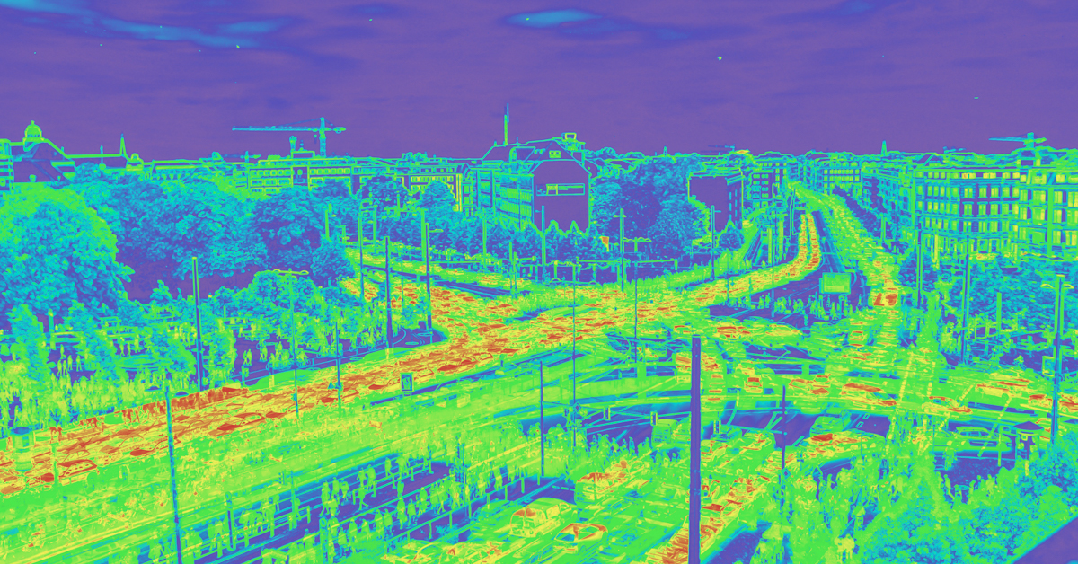
Spatially aware urban heat map modeling is a technique used to analyze and visualize how heat is distributed across an urban area, considering geographic and environmental context. It’s especially useful for understanding the urban heat island effect, where cities tend to be warmer than surrounding rural areas due to human activities and infrastructure. Engineers and planners use this data to plan for more energy-efficient developments and cooler cities, map heat vulnerability across neighborhoods, and predict the impacts of climate resiliency efforts.
When Science and Geography Intersect
Kleinfelder’s Kyle Wire, a Climate Resiliency Planner based in Boston, Massachusetts, recently published research and results in Urban Climate, examining how data science and geography intersect to better understand urban heat. The research builds on Kleinfelder’s climate hazard mapping work, in which Wire identified a key limitation in the industry-standard modeling approach known as Ordinary Least Squares (OLS). Traditional models often treat geography as random rather than continuous, missing important spatial relationships that influence climate behavior.
To address this, Wire developed a framework that combines geostatistics, machine learning, and latent spatial structure. The result is a method that treats geography as an interconnected field, producing more accurate neighborhood-scale predictions of extreme heat.

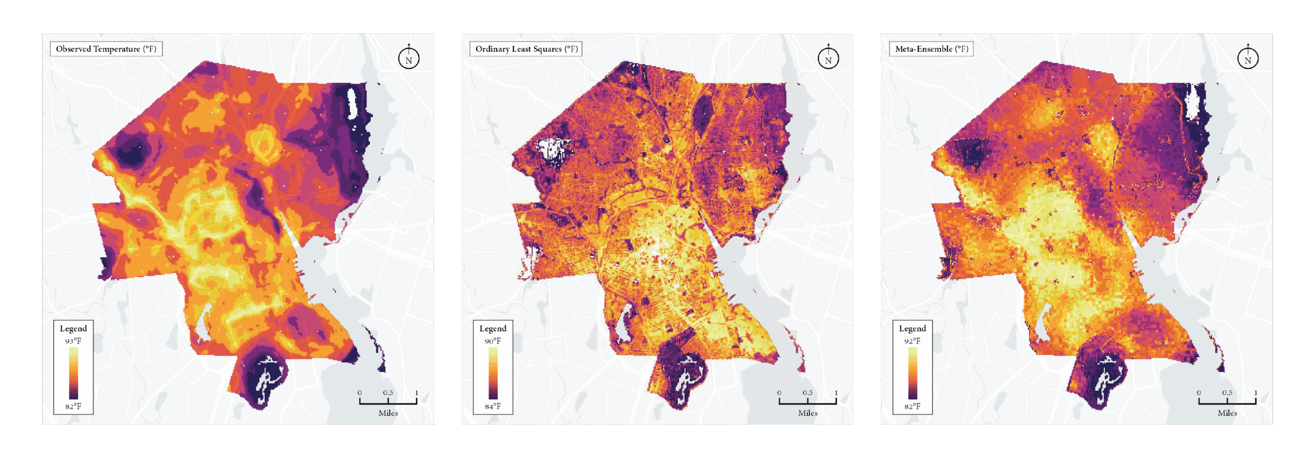
Figure: Comparison of observed ambient air temperature (left), the industry-standard Ordinary Least Squares (OLS) model (center), and the proposed spatial ensemble methodology (right). The OLS model achieved a 26% prediction accuracy and overfit local noise, while the new approach, integrating geostatistics, machine learning, and latent spatial structure, achieved an 85% prediction accuracy, closely reproducing the spatial pattern and magnitude of observed urban heat.
Blending Models Results in 50% Reduction in Errors
The results showed clear improvement. By blending spatial learning models with graph-based features, the new method reduced temperature prediction errors by more than 50% compared with standard techniques. This work demonstrates how spatially aware modeling can help cities create better data for planning, heat mitigation, and public health strategies.